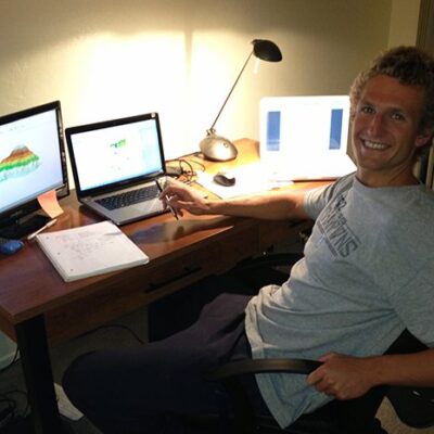
Scott Farley L&S Sciences
GIS Modeling of Wildfire Risk in Los Angeles County, California
Wildfires annually burn hundreds of thousands of acres of the Western United States, forcing mass evacuations, burning residences and costing hundreds of millions of dollars. Using a Geographic Information System (GIS), my project aims to model the wildfire potential of the Angeles National Forest, a large and diverse natural area just outside the city of Los Angeles. Considering variables such as fuel type and moisture content, temperature, precipitation, slope, and winds, I will determine the areas of the forest most conducive to a destructive fire. Using these ‘hot spots,’ I will analyze the resource allocation of the fire fighting units surrounding the forest. By the end of my project, I intend to have developed a model capable of incorporating future climate scenarios and being applied to other areas of the state.
Message To Sponsor
It is an honor to be selected as a SURF fellow for the summer. I am very passionate about my project, one which I believe could have real world impacts on the development of the Wild-Urban Interface in Southern California. I am also excited to gain experience in academic research, something I will value over the next year while writing my Geography honors thesis, as well as in graduate school and beyond.